Generating PDF document
Please, wait a moment

Too much time loading?
Reload the page and try again.
Please, wait a moment
Too much time loading?
Reload the page and try again.

Description
IDElab group is developing major projects in collaboration with other GIS (Geographic Information Systems) actors, especially regarding standard and interoperable systems.Other information
Number of researchers:
5
Technological Line(s):
- Other UVa laboratories
Development status:
In research and development phase
Intellectual Property Rights:
Susceptible Propiedad Intelectual
Differentiation in the market:
Novedad / Calidad
Applicability of technology:
Yes
Companies and markets:
The Spatial Data Infraestructres laboratory works with relevant SDI and open GIS institutions.
Advantages:
Development of interfaces to arrange, store, manage, analyse and model big amounts of real data linked to spatial references. This way, it is easier to include sociocultural, economic and environmental aspects in order to simplify and make more efficient the decision-making process.
Additional Information:
IDElab group is framed within the Intersemiotics, Translation and New Technologies (ITNT by its Spanish acronym) excellence research group of Junta de Castilla y León. IDElab collaborates on projects with the following institutions: Instituto Geográfico Nacional (Spanish national geographic institute), Centro Nacional de Información Geográfica (Spanish national center of geographic information), Confederación Hidrográfica del Duero (Douro river hydrographic association) and COTESA (centre for space-base observation and remote sensing).
UNESCO Code:
3325 - Telecommunications technology
Other members:
María Jesús Verdú Pérez
Luisa M. Regueras Santos
See more
Francisco Javier Merino Caminero
Elena Verdú Pérez
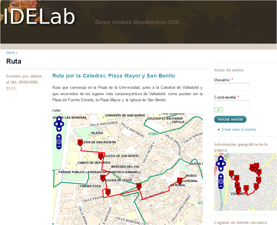
| CMSMap See / Download resource |
| IDELab-Mapstraction Interactive See / Download resource |
| IDELabRoute See / Download resource |
Big data refers to the set of procedures related to the management of great amounts of information, including macro-data collection, storage, search, sharing, analysis and visualization, which cannot be processed by traditional computer applications.... Read more >
CommonGo is an Android system app that consists of an automatism that allows to determine, in a simple and transparent way to a user, which users use similar routes. This can offer the possibility of sharing routes and taking advantage of what this e... Read more >
DataWeb: Compression, Indexing and Applications on Large Data Collections This line of work addresses the needs underlying the storage, management and use of large volumes of data (Big Data) in different practical application scenarios. The main obje... Read more >
According to its name, the Group has, among others, the following objectives:Continue the work already undertaken on topics in which the members have experience, such as: Corbusian spatiality, Jorge Oteiza's sculpture, ephemeral architectures, the wo... Read more >


